Construction
Measure, map, track, and report the progress of your construction project.
Measure, Map, Track & Report
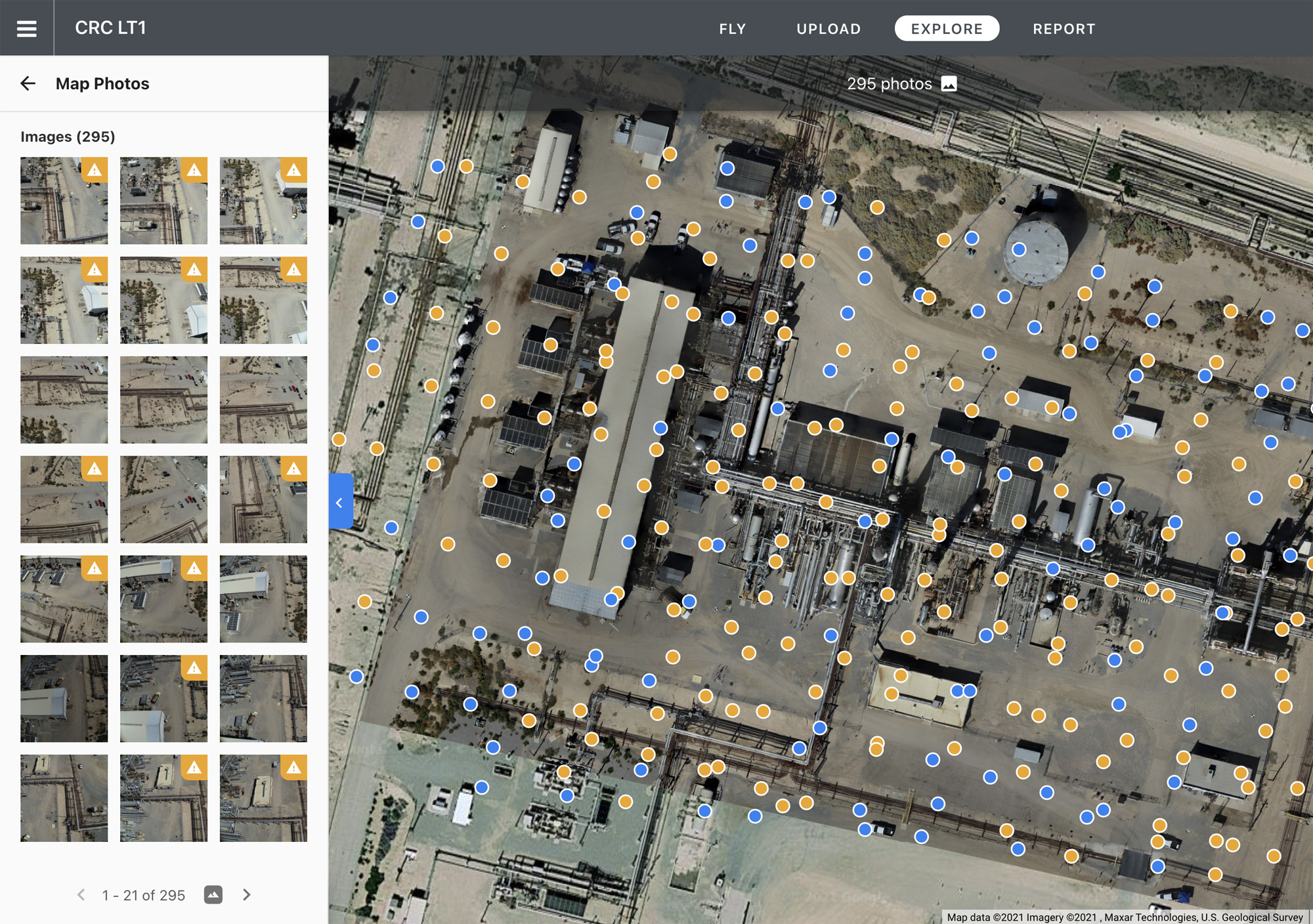
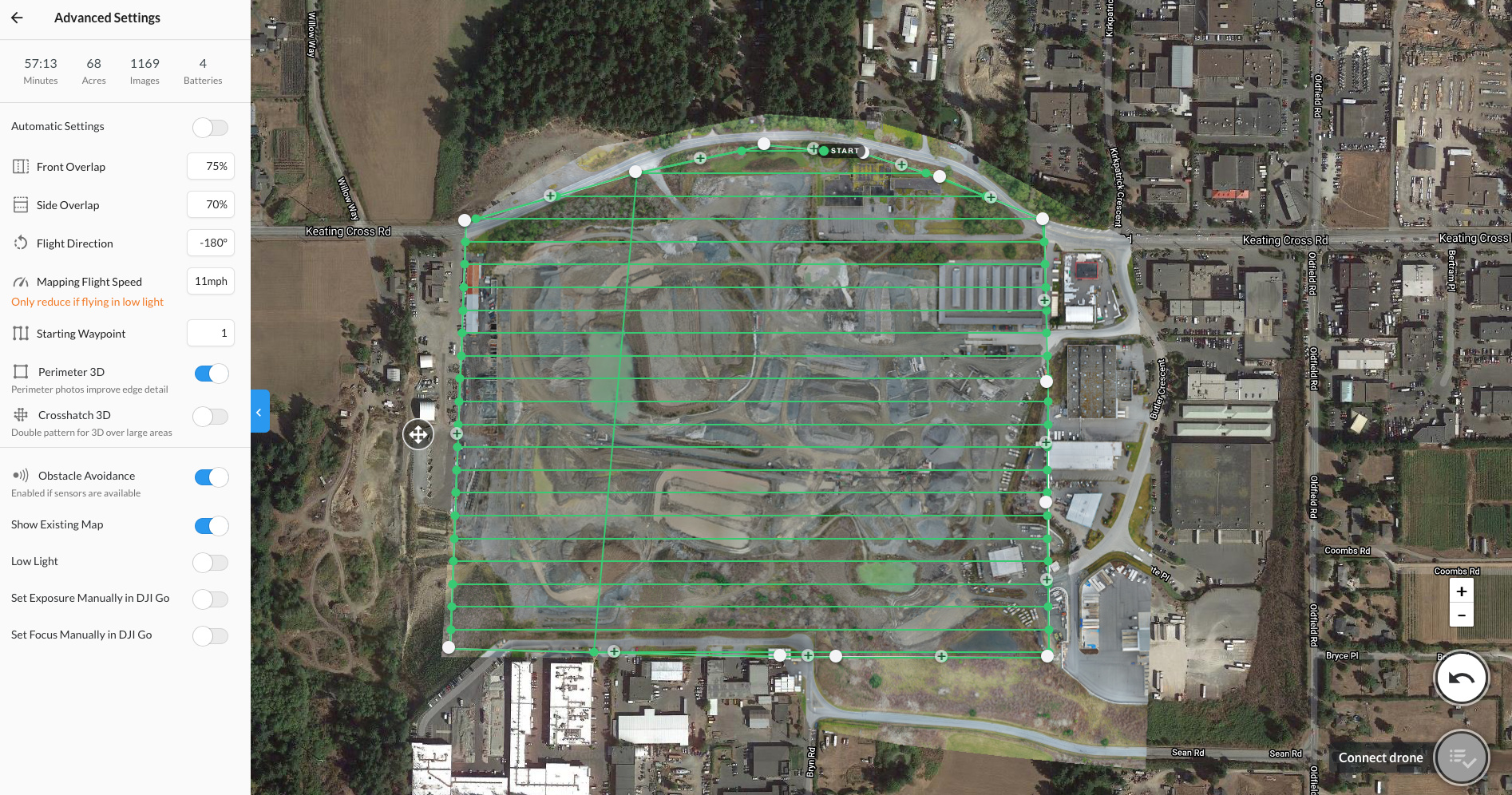
At Digital Processing Drone Inspections we help to measure, map, track, and report the progress of your construction project by providing an accurate aerial intelligence.


Detailed Data & Convenient Reporting
We provide your project managers with the following data:
- Work progress – track progress of your project from the air against design and identify issues before they affect schedule and budget. Generate cut and fill maps to plan grading works. Quickly compare different image sets over time.
- Material movement – perform quick volume calculations of material moved for contract conformance and payment.
- Cut and Fill comparison – calculate and visualize volumes of moved material by comparing the elevation of one map to another map or versus a grading plan.
- Safety monitoring – use aerial monitoring and drone image comparison tools to quickly identify OSHA violations.
- Report generation tools – Generate PDF or CSV reports to share with contractors and stakeholders.
Request a Quote
If you think we are a good match for your upcoming project, lets get in touch and get started!
Our equipment and crews are ready to fly at a short notice and we can work in difficult conditions.
