2D & 3D Mapping
Digital Processing Drone Inspections offers groundbreaking 2D and 3D mapping/modeling solutions for all industries.
The Benefits of Drones with 2D and 3D Mapping Services
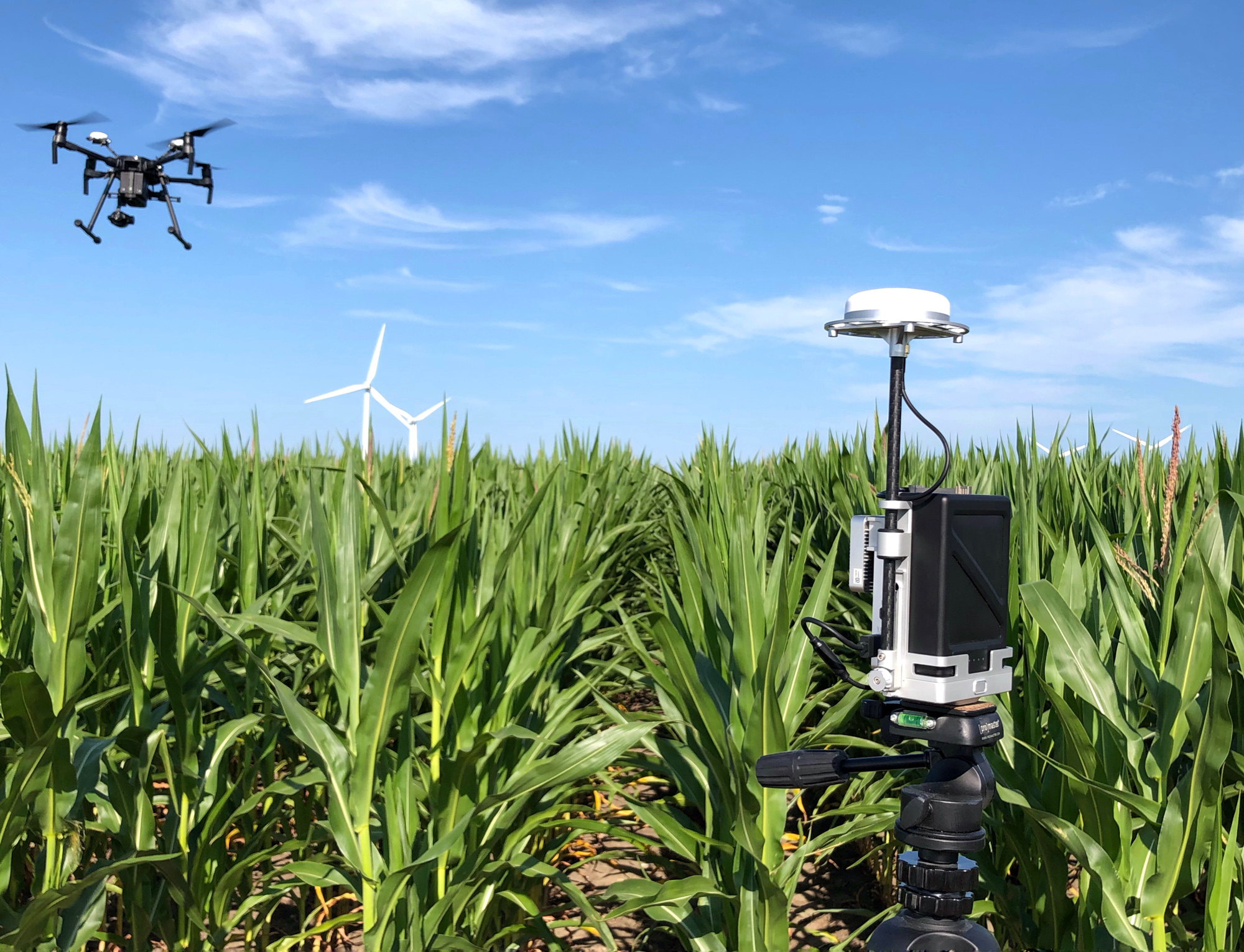
Drones have been known for their low cost ability to take close and aerial photography on sets, for real estate, agriculture or farming insights and more. Technology is always expanding and did so for drones when 2D and 3D mapping came to light. 2D and 3D mapping services are finding their way into a broad variety of applications.
Advantages of Multi-Dimensional Aerial Photography
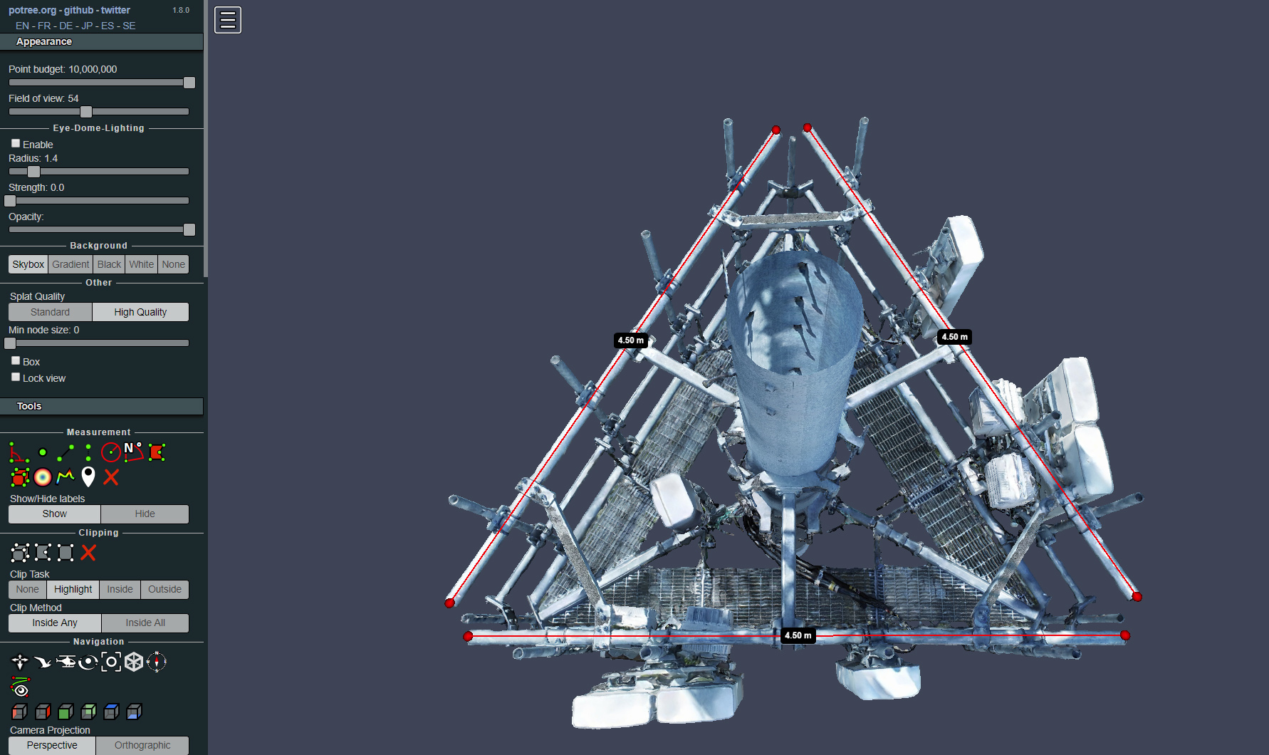
The advantages of using real 3D information in which a realistic view is created of a certain region on earth are numerous going further than the simple notion of cost effectiveness. Next to the realistic 2D or 3D mapping experience in visualizations, the use in algorithms, such as signal propagation algorithms, or in perception studies create a large advantage for local authorities, telecom- and consultancy companies.
How 2D & 3D Maps are Created
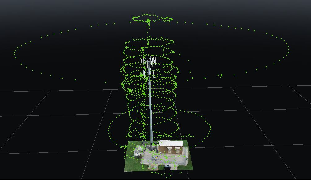
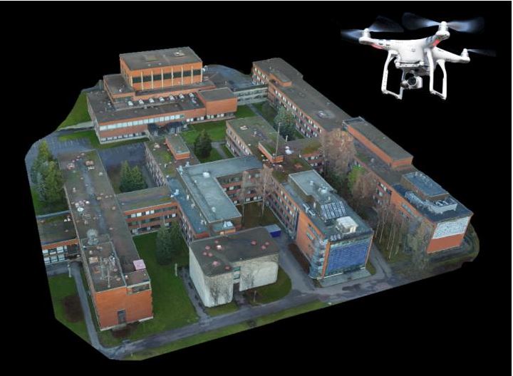
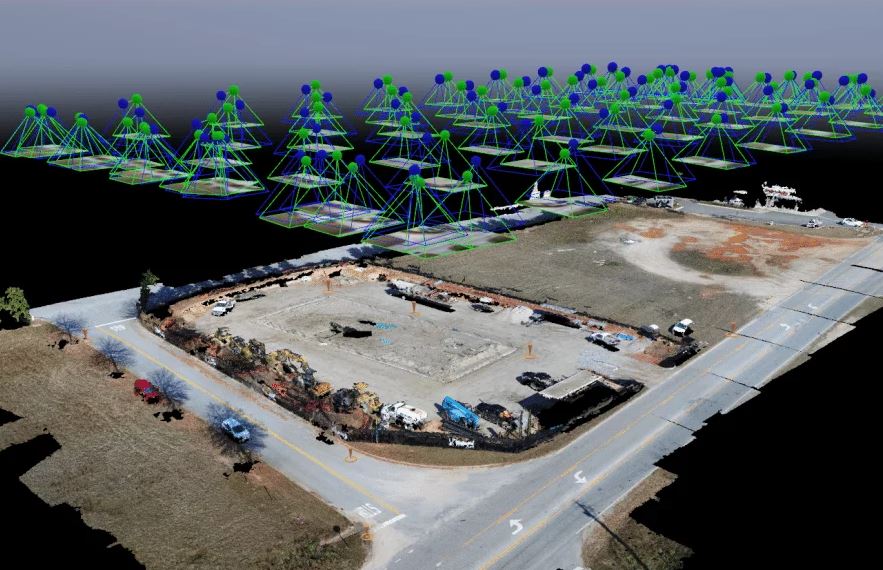
When creating a 2D or 3D map using drone aerial technology, the main focus is where the drone camera is pointed and whether you are needing a map or creating models of statues and the like. This process requires many photos to be taken by the drones from a specific flight path, or waypoint, that are essentially overlapped to create the needed end result.
2D and 3D at Digital Processing
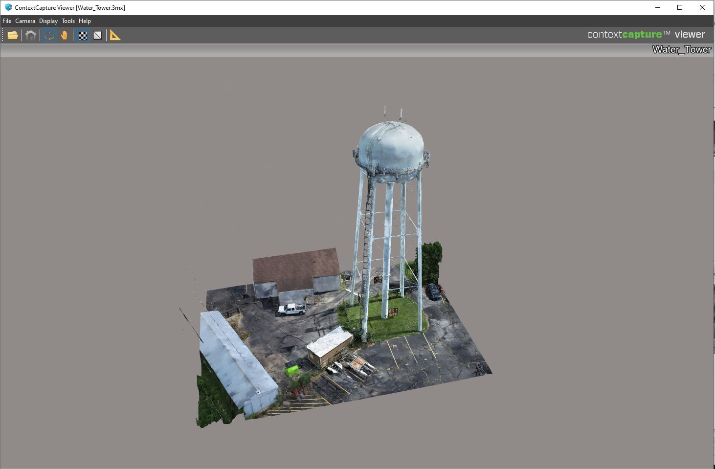
Digital Processing Drone Inspections use highly specialized software to create our 2D and 3D maps/models, such as Context Capture, Pix4d, Drone Deploy, Maps Made Easy, and others. These new techniques for 2D and 3D mapping services, as well as photogrammetry, are beneficial to many industries such as kaolin mines, rock quarries, engineering firms, forestry management, pollution modelling, archaeology, cellular network planning, telecom, and much, much more.
Using Drones for Photogrammetry and 3D Mapping
Our expert drone pilots, using advanced techniques can efficiently deliver highly accurate photogrammetry for different fields such as topographic mapping, architecture, engineering, manufacturing, quality control, police investigation and geology, as well as by archaeologists to quickly produce plans of large or complex sites. Thanks to the onboard GPS of the drone, orthomosaics typically have an absolute error of only half a meter, though ground control points could be integrated to give centimeter precision to the absolute locations.
How We Do It
We use high megapixel cameras on stabilized camera mounts to deliver true orthomosaic and georeferenced maps that are cost efficient and timely. (Consider the cost or accuracy that would be associated with hiring helicopters or other aircraft that are supplied with the necessary photogrammetry equipment.) The process is a matter of flying a drone from a waypoint to capture multiple overlapping photographs of the ground or model which will be pieced together to construct the 2D or 3D mapping or desired 3D model. This process would be virtually impossible to duplicate, let alone at the accuracy rate using a physical pilot navigated aircraft.
Endless Benefits
The use of drone aerial photogrammetry, while still in it’s earlier stages has countless benefits not to mention the mere cost effectiveness. It can benefit multiple industries for 2D or 3D mapping and modeling such as urban planning, forestry management, oil and gas exploration, cellular network planning, transport planning and so much more.
Let us show you a more efficient, cost effective and accurate way to gain the vital data you need on your site with our drone aerial 2D or 3D mapping.
Request a Quote
If you think we are a good match for your upcoming project, lets get in touch and get started!
Our equipment and crews are ready to fly at a short notice and we can work in difficult conditions.
